Monday, February 13, 2012

Igneous Rock Focus: Obsidian

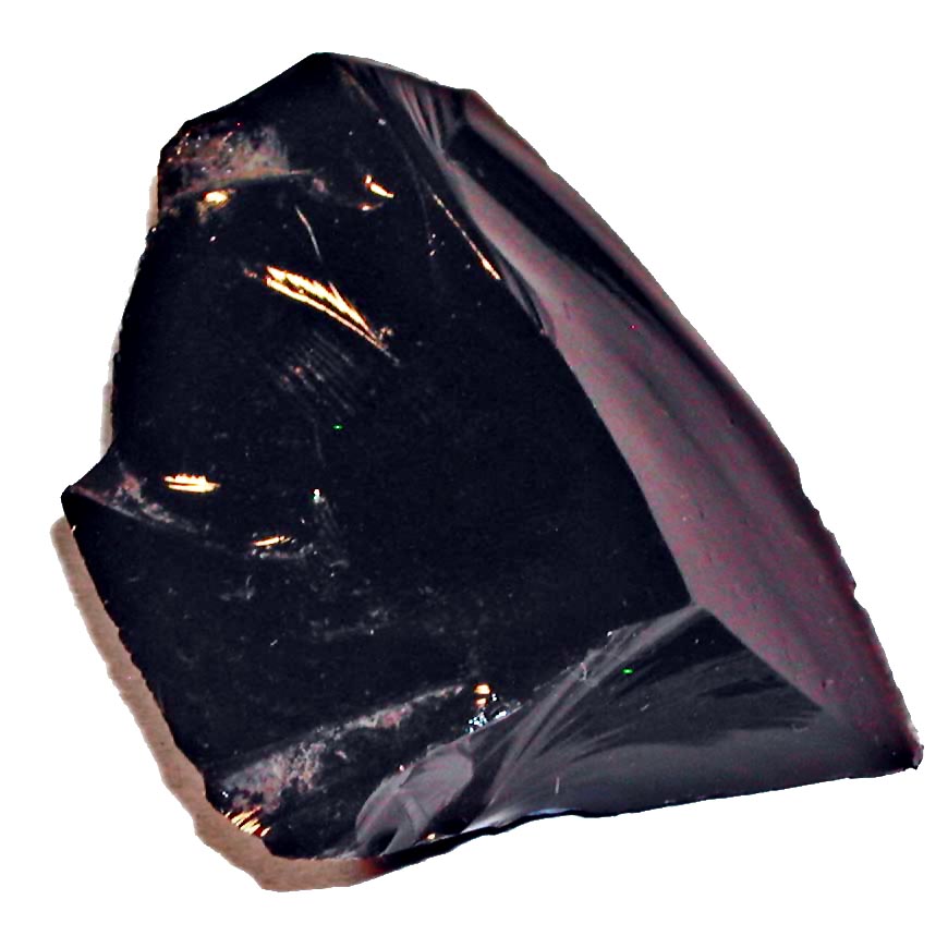
Obsidian is a felsic (from feldspar + silica) rock that results from lava cooling so fast after eruption that the atoms do not have time to form crystal structures before the rock hardens. The dark rock has a very smooth, translucent surface, which is often described as volcanic glass. Due to the glass's lack of orderly crystal structure, it cannot be considered a mineral, but rather a mineraloid. Impurities such as iron and magnesium vary the color from dark green, to brown, to black, and sometimes white spots are observed. The color can also change depending on the direction the rock is cut. Like flint, obsidian is hard and fractures into sharp pieces; therefore, it once served well for cutting and piercing tools (arrows and spears; polished for mirrors) and is still used today for surgical purposes. As an alternative purpose, obsidian is thought by some to protect the sensitive against depression- "the stone of the soft-hearted and gentle people of the world."

Obsidian can be found all over the world near volcanic eruptions. It is common is the western United States (with an entire mountainside of obsidian located in Yellowstone National Park) as well as the state of Virginia.

http://crystal-cure.com/obsidian-gem.html  http://en.wikipedia.org/wiki/Obsidian

File:ObsidianOregon.jpg

Thursday, February 2, 2012

TYPES OF MINERALS


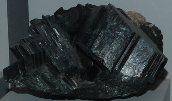
HORNBLENDE


FELDSPAR


GALENA


QUARTZ


MICA (Muscovite)


CALCITE (rhombus)


HALITE (cube)


KAOLINITE


PYRITE


Monday, January 30, 2012

TYPES OF MAPS

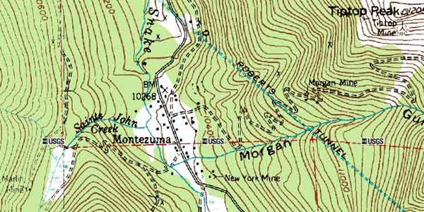
Isarithmic Map- uses lines or colors to define regions of the same value.

Topographic map of elevation intervals.

Choropleth Map- uses different colors to define areas with different features, characteristics, or values. If monochromatic, varying lightness in color often indicates qualitative data.

Differing terms for the same product, nationwide.
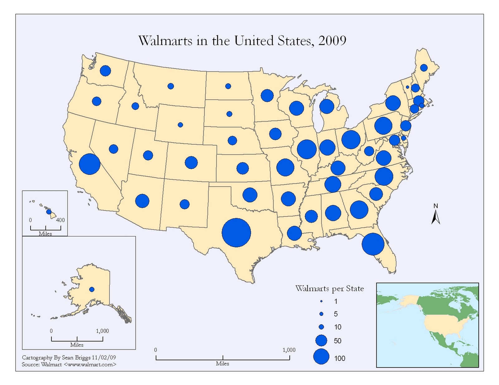
Proportional Symbol Map- symbols vary in size place to place on the map in proportion to the quantities found at that location.

Number of Walmarts per state.

Dot Density Map- uses a dot symbol  to indicated the presence of a feature at a location. Often used to display population trends or resource location.
 

Thursday, January 19, 2012

Cascada Los Tercios, El Salvador


The pictures above are waterfalls, Cascadas Los Tercios, located in Suchitoto, El Salvador. They are unique in that it looks as if the rectangular rocks were placed there by hand, but they are actually just a natural outcropping of basalt rocks that serve as a path for the runoff during the rainy season to fall into the lake below. The cascading basalt rocks are a result of past volcanic activity in the area.

These are similar basalt rock columns making up the side of a cliff in Turkey.